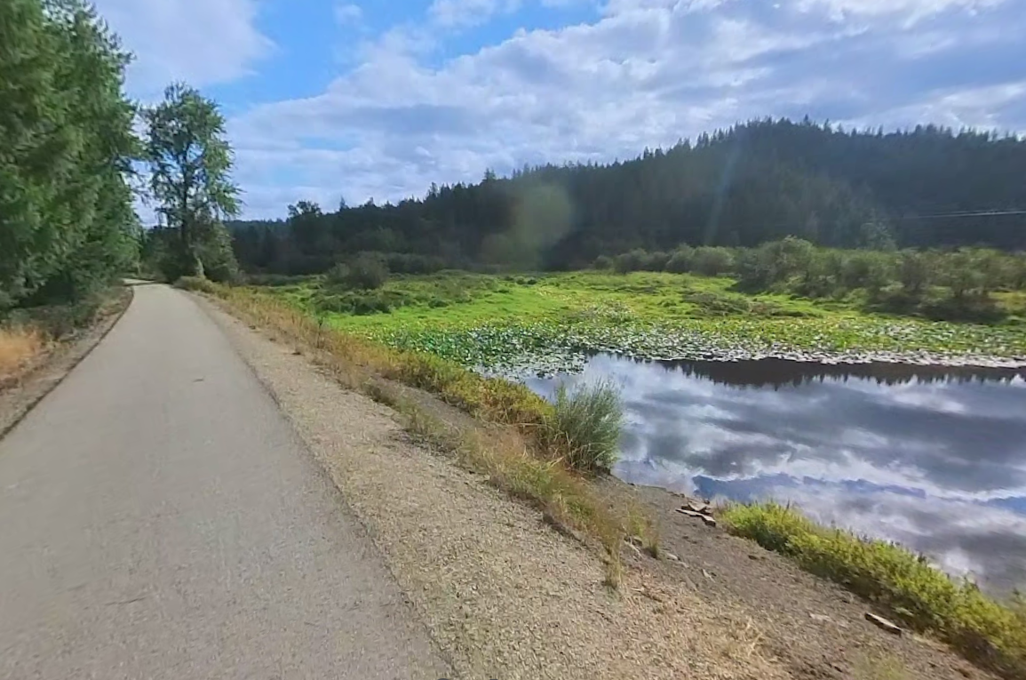
The Trail of the Coeur d’Alenes is one of the most visitor-friendly rides in the Northwest: a beautifully maintained, paved route that stretches roughly 73 miles from Plummer to Mullan. The grade stays comfortable, the scenery changes constantly, and the trail is designed so riders can focus on the experience—not technical terrain. It’s a perfect “choose your distance” trail: short highlight rides, half-day cruises with photo stops, or a full end-to-end adventure.
This trail is famous for wide-open wetlands and water-channel crossings where the landscape feels expansive and quiet. You’ll roll past marsh grasses, reflective water, and distant ridgelines—great for bird watching and photography. One of the standout moments is the Chatcolet Bridge area near Heyburn State Park: it’s the kind of “stop-and-stare” viewpoint that makes this trail feel unique.
Most guests don’t try to ride all 73 miles in one shot. The best approach is picking a segment that matches your time window: a relaxed 30–60 minute ride, a 1–2 hour ride with breaks, or a longer point-to-point plan that finishes in a different town. Because the surface is paved and consistent, it’s ideal for standard mountain bikes, hybrids, commuters, many e-bikes, and families looking for a comfortable pace.
One reason this trail rides so well is the access: there are multiple trailheads and “reset zones” along the corridor—parking areas, natural viewpoints, and nearby towns where you can pause for food or a quick break. Popular break-point towns include Harrison, Cataldo, Kellogg, Wallace, and Mullan. Amenities vary by season and location, so the simplest plan is: bring water, pick a scenic turnaround point, and leave a little extra time for photos and viewpoint stops.
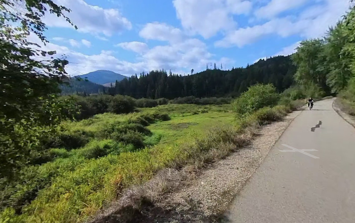
Want to ride without juggling vehicles? We can bring the bikes with us—our vehicle is equipped with a bike rack that carries up to four standard mountain bikes. Choose a section, get dropped at a convenient access point, then ride a clean stretch with scenic pull-offs and photo stops. Prefer a one-way ride? We can plan a finish point and meet you there for pickup.
For scheduled trail rides, we can also pick you up at your home, hotel, or another location of your choice (within our service area). You tell us where you want to start and where you’d like to finish, and we’ll help map a clean route plan that fits your time window.
Bike-trail drop-off and pickup runs are scheduled trips. Please request at least 24 hours in advance so we can confirm timing, meeting point, and bike capacity. Same-day requests may be possible, but availability is not guaranteed.
The highlighted line shows the mapped trail route. Stars mark the corridor ends (Start/Finish). The yellow “P” marker shows a convenient pickup/drop-off reference access area. Tap the map to enable scroll-zoom.
This corridor is a favorite for organized group rides, multi-day touring itineraries, and festival-weekend cycling plans—especially in the Silver Valley towns where riders often pair trail miles with dining, live music, and small-town exploration. If you’re visiting on a busy weekend, we can schedule a quieter ride window, or build your plan around a higher-energy day when the trail feels like part of the local action.
A clean plan is simple: select a trail section, set a Start point, ride to a scenic turnaround (or Finish point), then wrap with a viewpoint, lake stop, or a relaxed meal in one of the trail towns. This is “maximum scenery per mile” without the intensity—unless you want it.
Discover lakes, parks, trails, rivers, and mountain resorts across North Idaho.
Browse All DestinationsTOURA™ offers a simple, Uber-style booking experience through our rider app—request a reserved ride or scheduled tour, confirm pickup details, and track your driver in real time. You’ll see clear trip information before you ride, with smooth communication and reliable pickup coordination built in. For drivers, our platform supports professional for-hire operations with trip management, navigation support, and status updates that keep rides organized and on schedule. It’s designed to deliver a clean, guest-focused experience that fits TOURA’s scheduled Livery/For-Hire Tours & Rides model—reliable, predictable, and easy to use for both visitors and locals.


By Taxi WordPress Theme. Copyright © 2025 By TOURA™