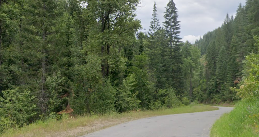
This page maps a cluster of Silver Valley-area paved and multi-use riding that visitors commonly combine into one day: the Trail of the Coeur d’Alenes corridor through the valley, plus nearby town connectors and named path segments in and around Wallace, Osburn, and Kellogg. Trail mileage and surfaces vary by segment and season, so TOURA can help you choose a “right-sized” route for your time window.
Silver Valley is perfect for flexible ride plans: a relaxed 30–60 minute cruise, a 1–2 hour ride with photo stops, or a longer point-to-point day using the rail-trail backbone. The buttons below the map pull the named trail segments that OpenStreetMap lists in this area, and estimate length/time for each.
The easiest “no stress” plan is to start at a clear access point, ride a scenic stretch, then loop back for coffee, lunch, or a quick break. For most guests: bring water, plan a turnaround, and leave time for photo stops—Silver Valley scenery makes frequent pauses part of the fun.
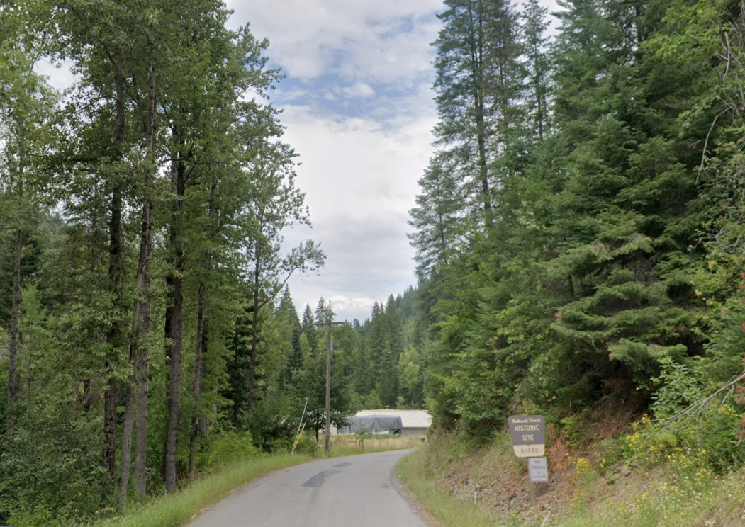
Want to ride without juggling vehicles? We can bring the bikes with us—our vehicle is equipped with a bike rack that carries up to four standard mountain bikes. Choose a section, get dropped at a convenient access point, then ride a clean stretch with scenic pull-offs and photo stops. Prefer a one-way ride? We can plan a finish point and meet you there for pickup.
For scheduled trail rides, we can also pick you up at your home, hotel, or another location of your choice (within our service area). You tell us where you want to start and where you’d like to finish, and we’ll help map a clean route plan that fits your time window.
Bike-trail drop-off and pickup runs are scheduled trips. Please request at least 72 hours in advance so we can confirm timing, meeting point, and bike capacity. Same-day requests may be possible, but availability is not guaranteed.
The highlighted lines show the mapped trail network in/near Silver Valley for this ride-day concept. Stars mark the endpoints of the main highlight corridor (best-effort match from OpenStreetMap). The yellow “P” marker shows a convenient access reference near Silver Mountain Resort. Tap the map to enable scroll-zoom.
Silver Valley’s path network gets the most activity during warm-weather weekends when the valley towns and trailheads are at peak energy. If you’re visiting during busy weekends, we can build a ride plan that avoids the most congested times—or lean into the atmosphere with a short, photo-heavy ride and a relaxed finish.
A clean plan is simple: start near a known access point, ride a scenic segment, then add a town connector loop for variety. Finish with a local stop—maximum scenery per mile without technical terrain.
Discover lakes, parks, trails, rivers, and mountain resorts across North Idaho.
Browse All DestinationsTOURA™ offers a simple, Uber-style booking experience through our rider app—request a reserved ride or scheduled tour, confirm pickup details, and track your driver in real time. You’ll see clear trip information before you ride, with smooth communication and reliable pickup coordination built in. For drivers, our platform supports professional for-hire operations with trip management, navigation support, and status updates that keep rides organized and on schedule. It’s designed to deliver a clean, guest-focused experience that fits TOURA’s scheduled Livery/For-Hire Tours & Rides model—reliable, predictable, and easy to use for both visitors and locals.


By Taxi WordPress Theme. Copyright © 2025 By TOURA™